
A Measuring Wheel, a Laser and Radar: Three Ways to Count One Cemetery
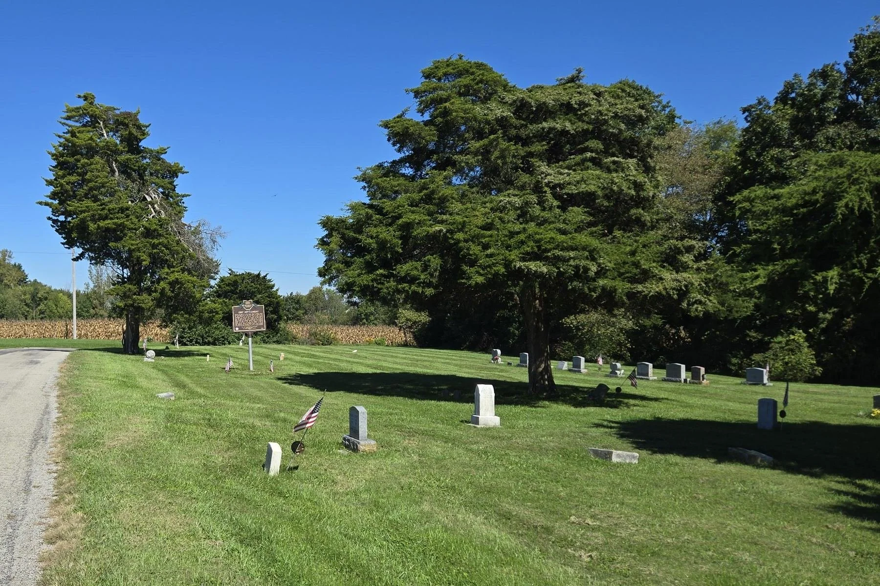
Gist Settlement Cemetery with Ohio Historical Marker 5-36, Gist Settlement Road, Penn Township, Highland County, Ohio, September 26, 2026.
In the fall of 2006, a high school history class walked a small cemetery in Highland County, Ohio, with a distance-measuring wheel.
The students were Paul LaRue’s Research History class at Washington High School. The ground was the Gist Settlement Cemetery, Lot 31 on the 1894 plat of the settlement. They gave every marker a number, estimated where it stood, and wrote down what it said: names, dates, condition, even length, width and height. Their map is honest about its limits. Its caption in the published report calls it “not to scale,” with north to the left.
Their list counts 94 grave markers.
The Same Ground, Measured Again
A few years later the same ground was measured again with better tools. Archaeologists from Ohio Valley Archaeology, Inc. mapped the cemetery in 2010 and 2011 with a laser transit, taking a reading on each side of every stone so the markers could be drawn to scale. They found 84 markers. The report says the missing ones may have been covered by grass, or removed since 2006.
In 2010 the survey also went underground. Ground-penetrating radar and an electrical resistance meter look for what a grave leaves behind: a coffin or vault, and soil that was dug out and put back. Students from Washington High School and staff from Time Warner Cable, which helped fund the 2010 work, were trained to run the equipment. The survey identified 94 probable and possible graves, and 50 of them were not directly associated with any visible marker. From that, the report estimates the cemetery holds perhaps as many as 134 graves, and says the real number could be higher, because the instruments do not catch every grave, especially those of children.
Four Numbers, Four Different Questions
So one small cemetery now has four numbers: 94, 84, 94 and 134.
None of them is wrong. They count different things. Ninety-four markers is what students could read above ground in 2006. Eighty-four is what could be found and measured in 2010–11. Ninety-four probable and possible graves is what two instruments detected below ground. And 134 is an estimate, not a list of people.
Those differences matter the moment you try to turn any of it into names. A marker is not a person: one stone on the students’ list records two people. A radar anomaly is not a name, and nothing in the report assigns one to anyone. Even silence needs care. The radar found almost no graves at the north end, near the oldest legible stone, dated 1872, and the report cautions that nineteenth-century graves marked with wood or small stones may simply no longer show.
Putting the 2006 List to Work
Here is how I put the 2006 list to work. It sits in my files as its own table, 94 rows transcribed exactly as the students recorded them. I compare it, row by row, with the public memorials on Find a Grave. Sixty-six rows have a candidate memorial. Twenty-eight have no named match, including rows where the stone was blank, worn or illegible in 2006. Where a memorial carries a clear photograph of the stone, some dates differ from the 2006 readings. When that happens, I note the difference beside the students’ reading. I do not overwrite it. The list is a record of what a class saw on particular days in 2006, and that has value of its own.
The takeaway for anyone working a cemetery: write down what each tool actually measured, keep each survey as its own layer, and never let an estimate or an anomaly quietly become a named burial. The technology keeps improving. The discipline is what keeps it honest.
And give the students their due. The marker numbers on the archaeologists’ 2011 map are the numbers that class assigned in 2006.
If you were in that class, or you know where its field notes or photographs are today, I would like to hear from you.
On Saturday, October 24, at 6:00 p.m., Gist Settlement Legacy hosts an evening of live storytelling at the cemetery, 6380 Gist Settlement Road, New Vienna. Details are at gistsettlementlegacy.com and on the host’s Facebook page.
Source: Jarrod Burks, with contributions by Stephen Biehl, “The Highland County Gist Settlement (33Hi417): Archaeological Investigation into the Results of Manumission at a Settlement of Freedmen in Southern Ohio,” Ohio Valley Archaeology, Inc., Contract Report #2014-3 (March 2016), chapter 6 and appendices G–H.

